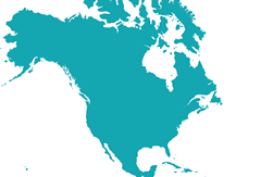
Maps of the continent North America

The continent North America is the northern part of the American double continent. To its north you will find the Arctic Ocean, to its west the Pacific Ocean, to its east the Atlantic Ocean and to its south the Caribbean. With a size of almost 25 million square kilometers it is the third largest continent after Africa and Asia. North America has a population of 529 million as of 2017 and a total of 23 countries.
Countries:
Anguilla
Antigua and Barbuda
Bahamas
Barbados
Belize
Canada
Costa Rica
Cuba
Dominica
Dominican Republic
El Salvador
Greenland
Grenada
Guadeloupe
Guadeloupe
Haiti
Honduras
Jamaica
Martinique
Mexico
Montserrat
Nicaragua
Panama
Puerto Rico
Saint Kitts and Nevis
Saint Lucia
Saint Vincent and the Grenadines
Trinidad And Tobago
USA
Creating Maps was never easier
Create and download your Maps within minutes