Map of Middle America
Created: 08.12.2013
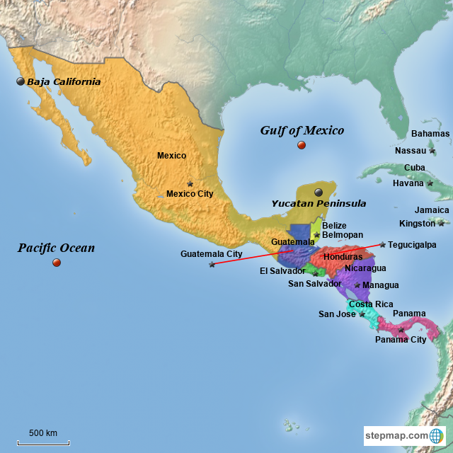
This is a map of Middle America which includes Mexico and Central America, along with a few of the Caribbean Island countries. The countries are labeled along with their respective capital cities. This map shows the location of the Gulf of Mexico and the Pacific Ocean. The Baja California peninsula and the Yucatan Peninsula are also displayed on this map.
This is a map of Middle America which includes Mexico and Central America, along with a few of the Caribbean Island countries. The countries are labeled along with their respective capital cities. This map shows the location of the Gulf of Mexico and the Pacific Ocean. The Baja California peninsula and the Yucatan Peninsula are also displayed on this map.
Map Image: Map of Middle America
Creating Maps was never easier
Create and download your Maps within minutes